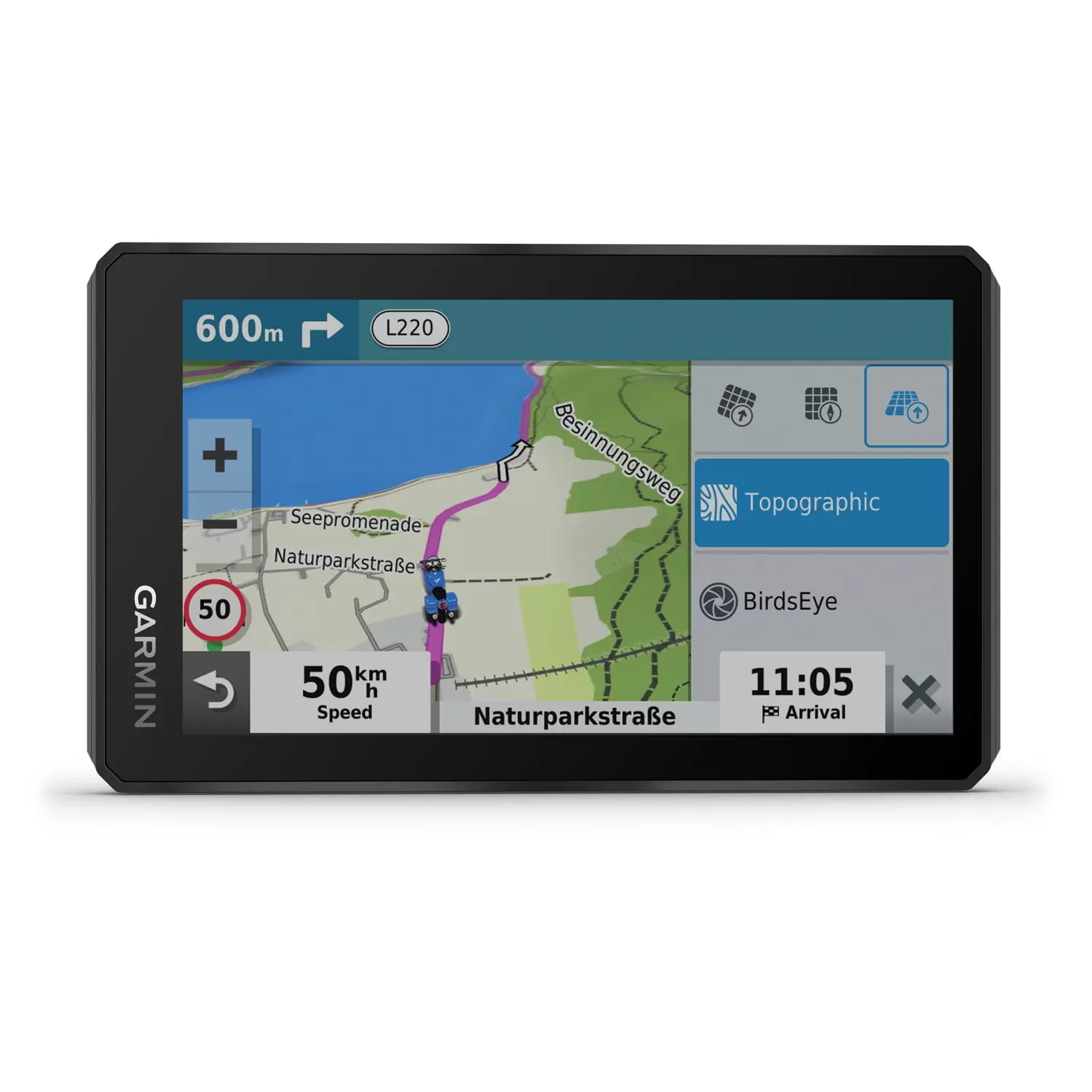
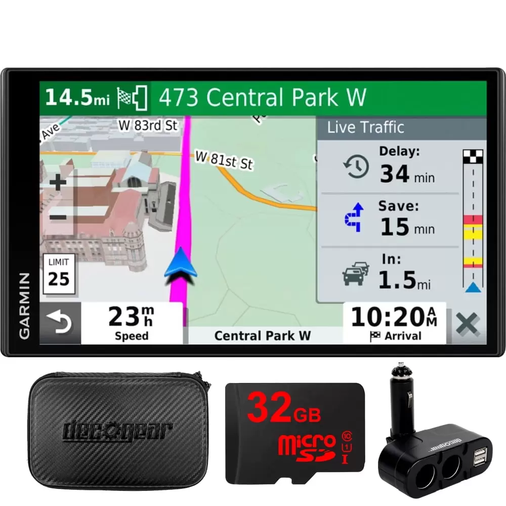
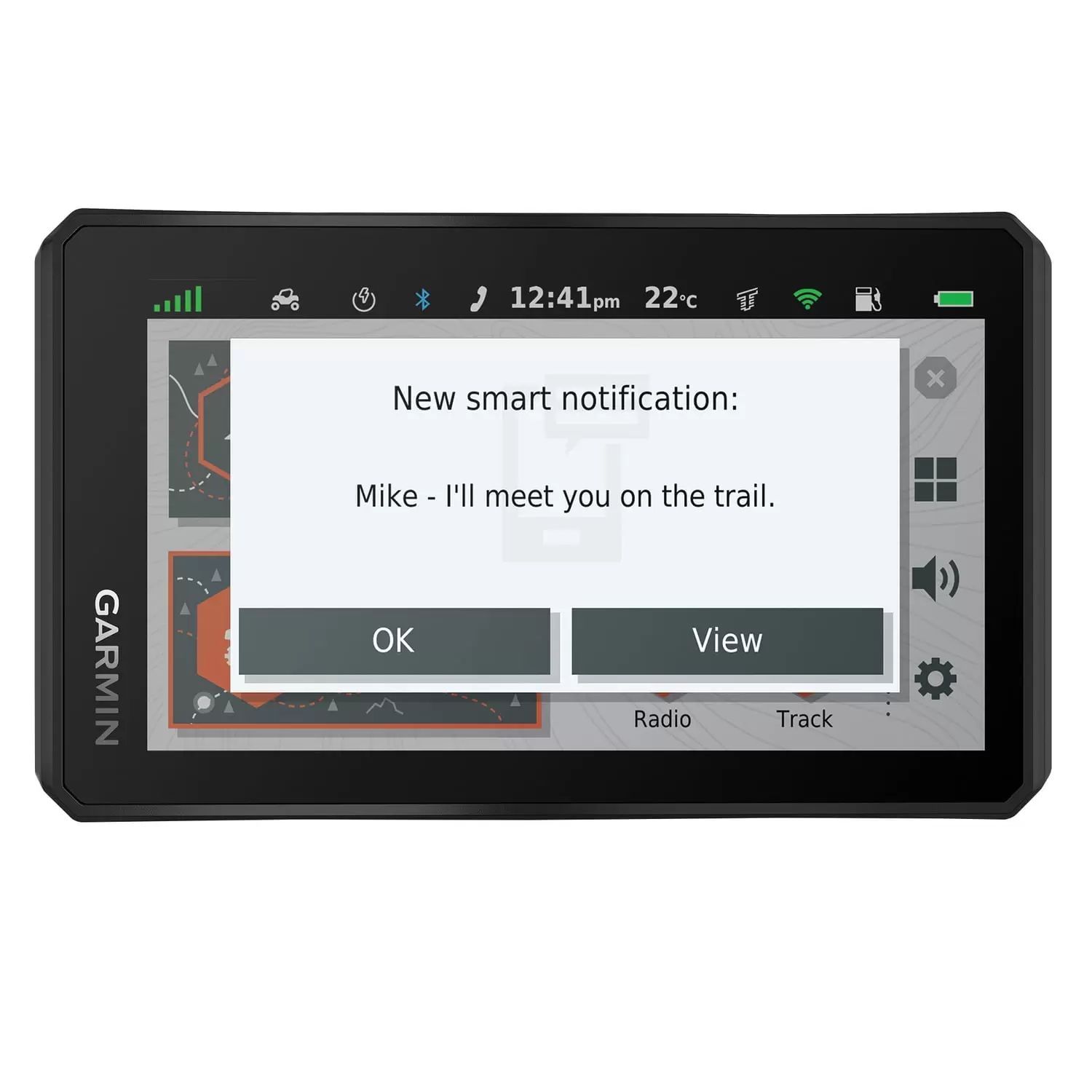
Garmin 010-02296-00 5.5 in. Zumo XT Motorcycle GPS Navigator
$158.68
 Returns & Exchanges within 30 days
30-day hassle-free returns
 Money Back Guarantee
Full refund within 1-2 week of return receipt
 Free Shipping
Enjoy free shipping on orders over $59.
 Super Saver Deal
Claim your 'Super Saver Deal'!
Discount automatically applies at checkout - don't miss out!

Garmin 010-02296-00 5.5 in. Zumo XT Motorcycle GPS Navigator
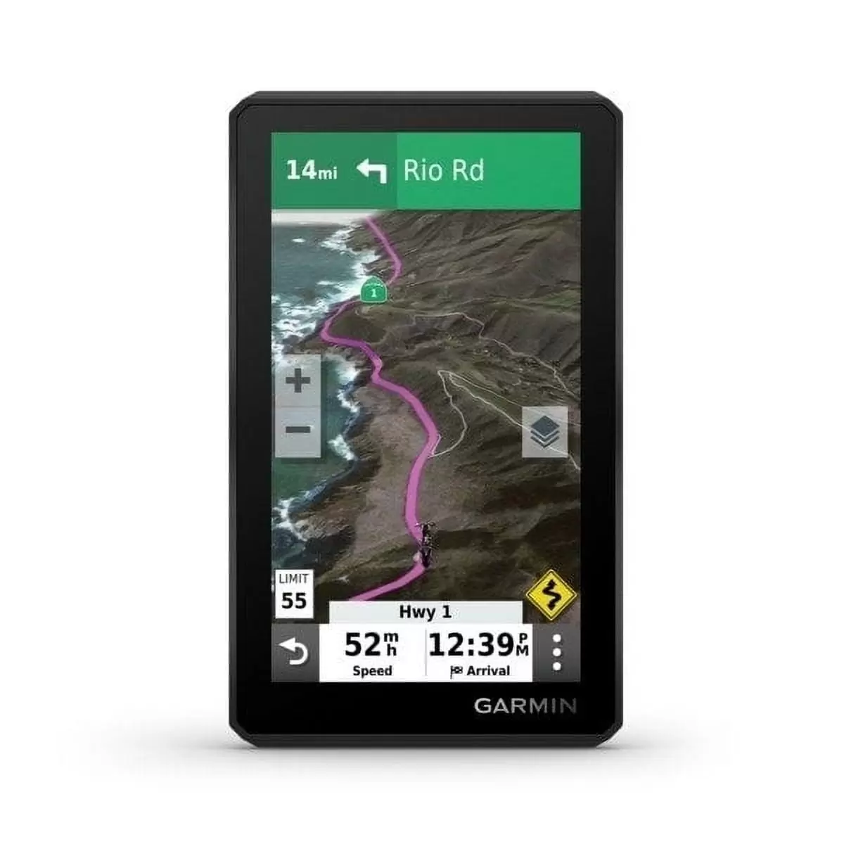
- Superbright Display Visible During Day And Night . Can Be Used In Landscape Or Portrait View
- Glove-Friendly. Ruggedly Built. And Rain Resistant (IPx7)
- Bluetooth Hands-Free Calling And Music Streaming From Paired Smartphone
- MP3 Files Can Also Be Stored On Navigator
- Preloaded Street Maps For US. Mexico. Canada. Puerto Rico. US Virgin Islands. Cayman Islands. And Bahamas
- Map Updates Included
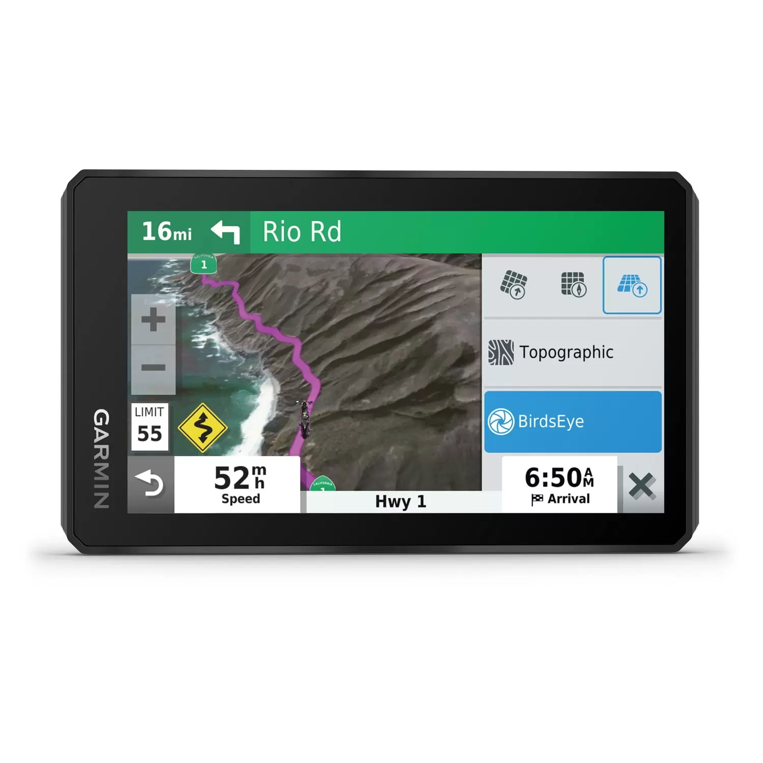
- Preloaded Off-Road Topographic Maps Featuring North And Central America Public Land Boundaries. 4×4 Roads And More
- Built-In Wi-fi For Easy Maps And Software Updating When There’s An Active Connection Enabled With Wi-fi Technology
- Ability To Select Road Preferences From Easy To Twisting And Gnarly
- Ability To Switch From North America Street Maps To Topographic Maps To Birdseye Satellite Imagery With Just A Tap
- Track Recorder Remembers User’s Best Rides
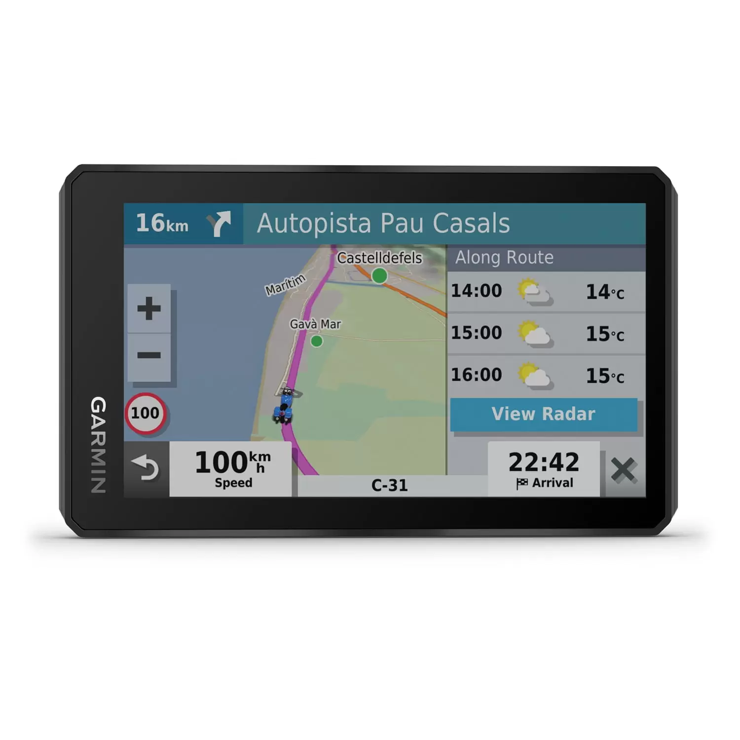
- Rider Alerts For Hazards Like Sharp Curves. Speed Changes. State Helmet Laws. Etc.
- Garmin Real Directions Are Turn By Turn Directions Spoken Through Connected Helmet Or Headset
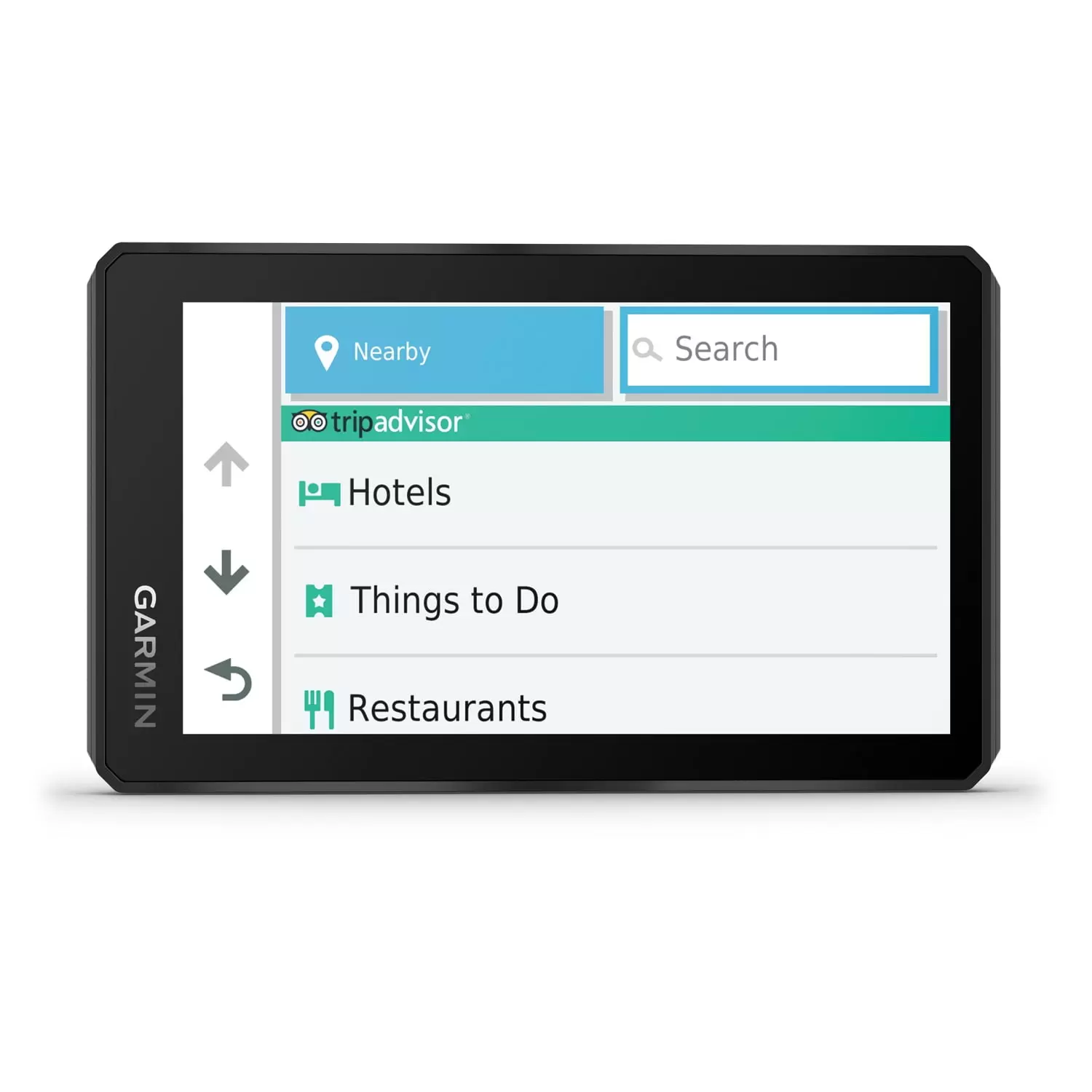
- Tripadvisor Traveler Ratings
- History Database Of Notable Sites. Ioverlander Pois. Ultimate Public Campgrounds. And U.S. National Parks Directory And Millions Of Popular Places. From Foursquare
- Can Be Paired With Garmin Inreach Satellite Communicator (Sold Separately)
- Ability To Easily Send GPX Files From Paired Smartphone To Zumo XT. Or Share GPX Files With Fellow Riders By Using The Garmin Drive App
- With Backlight At 100%. Battery Lasts Up To 3.5 Hours. 6 Hours On Regular Settings
- Can Be Hard Wired For Constant Power
- Includes Motorcycle Mount And Hardware. Motorcycle Power Cable. USB Cable. And Documentation
Specifications
| Brand | Garmin |
| Assembled Product Weight | 2 lb |
| Manufacturer Part Number | 010-02296-00 |
| Manufacturer | Garmin |
| Assembled Product Dimensions (L x W x H) | 7.50 x 5.80 x 4.50 Inches |
| Brand | Garmin |
|---|---|
| Manufacturer Part Number | #010-02296-00 |
Be the first to review “Garmin 010-02296-00 5.5 in. Zumo XT Motorcycle GPS Navigator” Cancel reply
Related products
$137.83
RV Electronics
$112.17
RV Electronics
$37.20
$139.48
-
- Auto Electronics
- Automotive Tools & Equipment
- Auto Accessories
- Electronics Accessories
- Power Tool Accessories
- Air Conditioner Parts & Accessories
- Air Mattresses & Sleeping Accessories
- ATV Accessories
- ATV Parts & Accessories
- Auto Detailing Accessories
- Camera Accessories
- Camping Accessories
- Can-Am Parts & Accessories
- Camcorder Accessories
- Can-Am Parts & Accessories
- Air Compressors and Accessories
- Login
Save More as You Shop!



Reviews
There are no reviews yet.