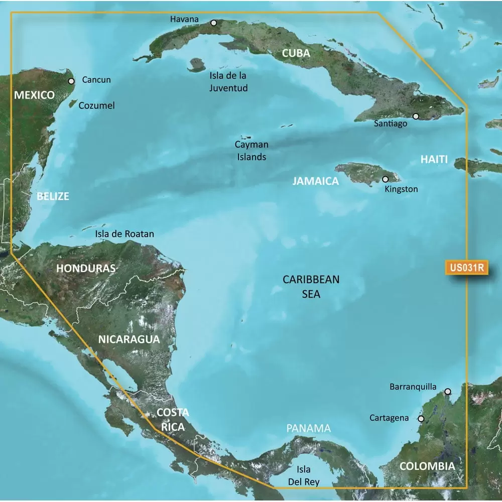
Garmin BlueChart g3 HD – HXUS031R – Southwest Caribbean – microSD/SD
$64.65
 Returns & Exchanges within 30 days
30-day hassle-free returns
 Money Back Guarantee
Full refund within 1-2 week of return receipt
 Free Shipping
Enjoy free shipping on orders over $59.
 Super Saver Deal
Claim your 'Super Saver Deal'!
Discount automatically applies at checkout - don't miss out!

SKU: electronic-14797
Category: GPS Accessories
Tags: Auto Electronics, GPS & Navigation, GPS Accessories
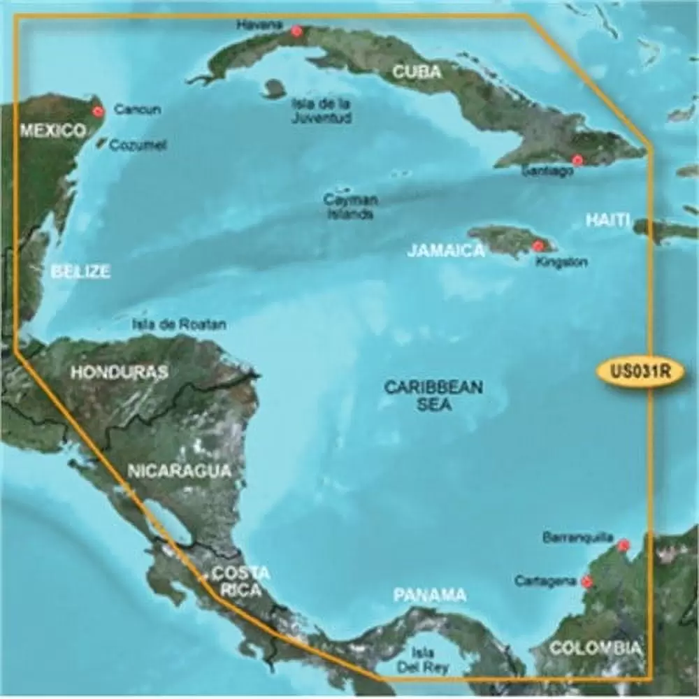
BlueChart G3 HD SD HXUS031R Southwest Caribbean MFG# 010-C0732-20 Cancun Mexico To Barranquilla Colombia Including Panama Canal And Gulf Of Panama
– Also Includes Detailed Coverage Of Cuba Jamaica And The Caymans
– On SD Card
– Also Includes Detailed Coverage Of Cuba Jamaica And The Caymans
– On SD Card
- Realistic navigation features showing everything from shaded depth contours and coastlines to spot soundings. navaids. port plans. wrecks. obstructions. intertidal zones. restricted areas. IALA symbols and more
- Smooth display presentation including seamless transitioning between zoom levels and more continuity across chart boundaries
- Safety shading allows user to enable contour shading for all depth contours shallower than user-defined safe depth
- Fishing charts to help scope out bottom contours and depth soundings with less visual clutter on the display
- Choice of standard 2-D direct overhead or 3-D over the bow map perspective to make chart reading and orientation easier. Also compatible with Garmin’s HomePort trip-planning software.
Specifications
| Brand | Garmin |
| Assembled Product Weight | 1 lb |
| Manufacturer | Garmin |
| Manufacturer Part Number | 010C073220 |
| Color | Multicolor |
| Brand | Garmin |
|---|---|
| Manufacturer Part Number | #010C073220 |
Be the first to review “Garmin BlueChart g3 HD – HXUS031R – Southwest Caribbean – microSD/SD” Cancel reply
Related products
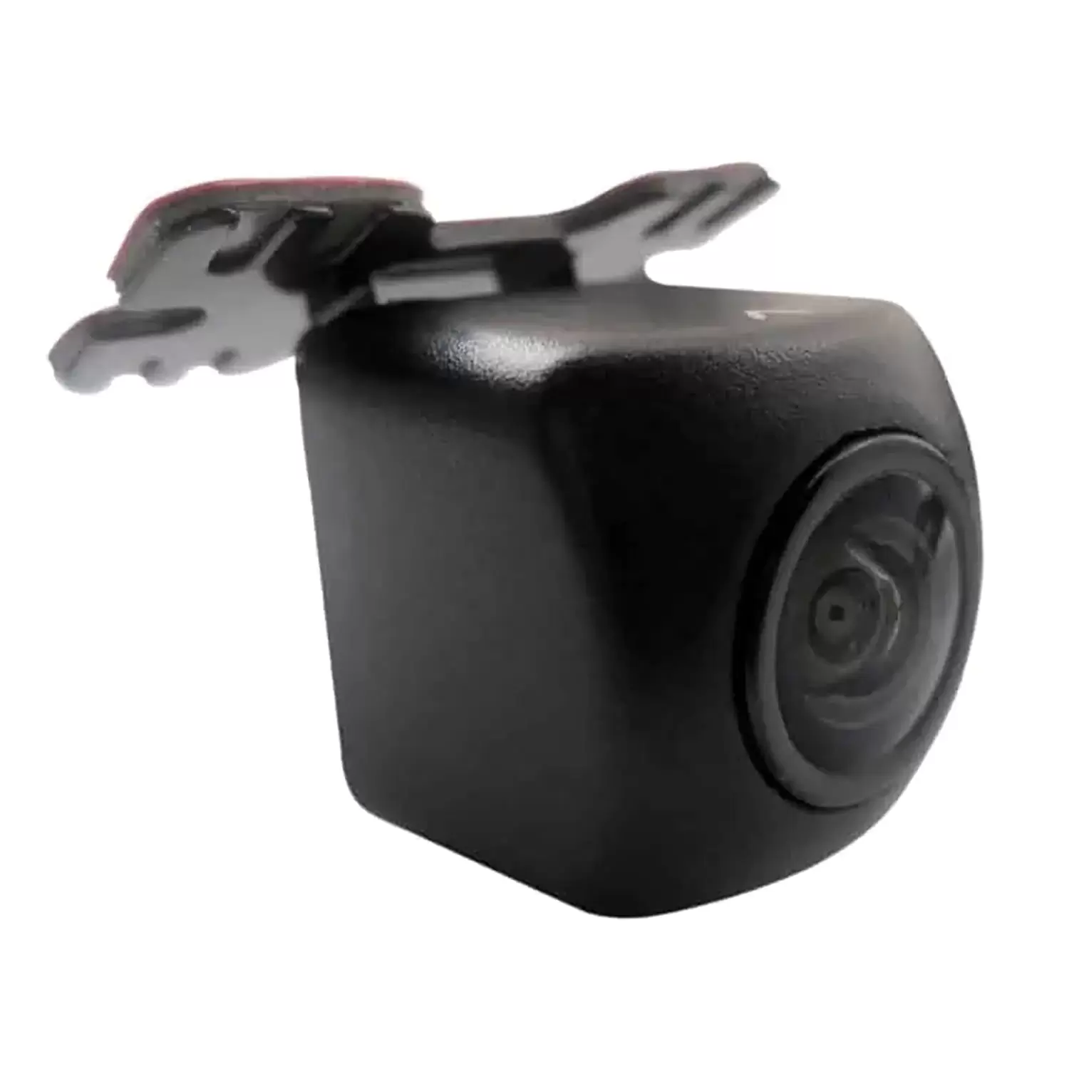
Backup Cameras
$45.00
-
- Auto Electronics
- Automotive Tools & Equipment
- Auto Accessories
- Electronics Accessories
- Power Tool Accessories
- Air Conditioner Parts & Accessories
- Air Mattresses & Sleeping Accessories
- ATV Accessories
- ATV Parts & Accessories
- Auto Detailing Accessories
- Camera Accessories
- Camping Accessories
- Can-Am Parts & Accessories
- Camcorder Accessories
- Can-Am Parts & Accessories
- Air Compressors and Accessories
- Login
Save More as You Shop!





Reviews
There are no reviews yet.