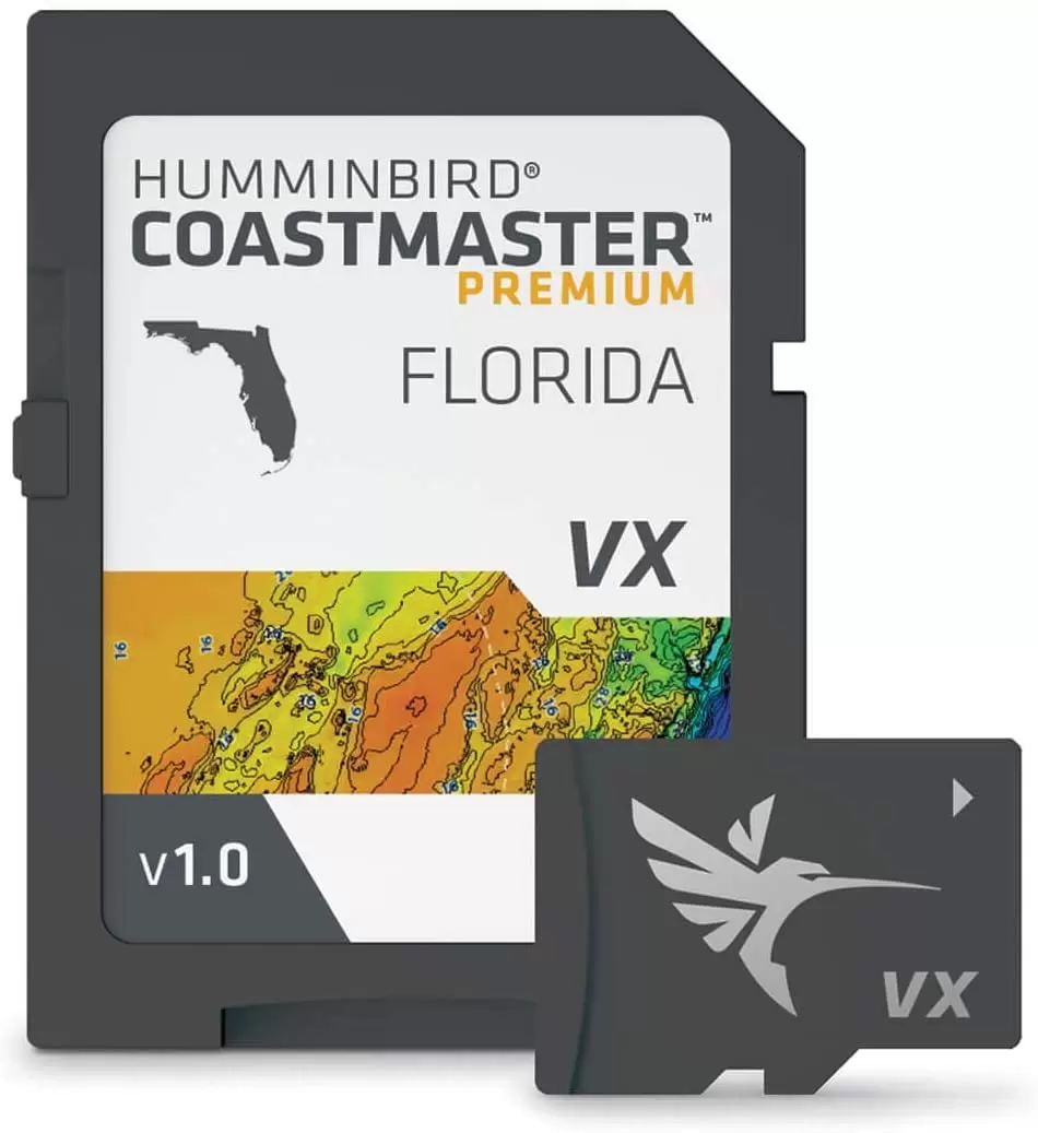
Humminbird Coastmaster Premium Florida V1 One Boat Network VX Technology
$89.37
 Returns & Exchanges within 30 days
 Money Back Guarantee
 Free Shipping
 Super Saver Deal

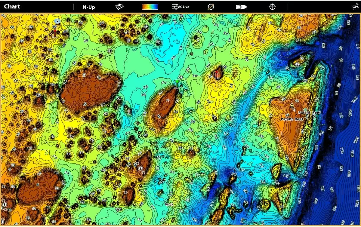
2D Shaded Relief layer helps make bottom detail and depth changes easy to spot
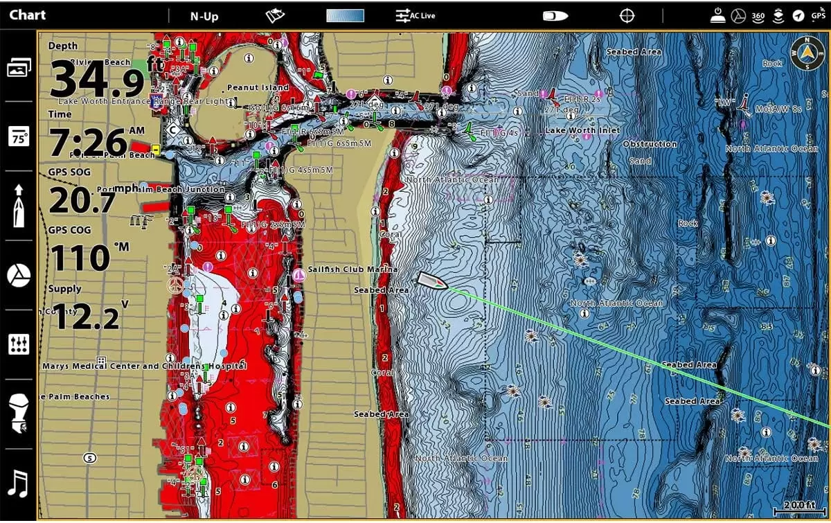
Navigate confidently with the help of enhanced Aerial Imagery
The Auxiliary Contours layer provides additional contours in shallow water areas.
The Bottom Hardness layer helps anglers identify bottom composition and key fish-holding areas
See the world your way with three preset views. It’s quick and easy to switch from fishing charts to nautical charts. or to create your own custom view settings.
Using predictive software. CoastMaster allows you to plan your fishing day with tidal direction and height. as well as the speed and direction of currents and more. so you’ll never be caught guessing.
Create up to four user-defined depth highlight ranges. so you can easily target productive water and stay in the bite zone.
Identify shallow water areas on an adjustable range from zero to 30 feet.
Synchronize the depth contours and shorelines of your CoastMaster charts with the actual water levels. so that your chart will reflect the current water level of your fishing spots.
Access a wealth of navigational data to make your next trip safe and successful. Access navigation aids. artificial reefs and points of interest.
- 2D Shaded Relief layer helps make bottom detail and depth changes easy to spot Navigate confidently with the help of enhanced Aerial Imagery The Auxiliary Contours layer provides additional contours in shallow water areas.
- The Bottom Hardness layer helps anglers identify bottom composition and key fish-holding areas See the world your way with three preset views. It’s quick and easy to switch from fishing charts to nautical charts. or to create your own custom view settings.
- Using predictive software. CoastMaster allows you to plan your fishing day with tidal direction and height. as well as the speed and direction of currents and more. so you’ll never be caught guessing. Create up to four user-defined depth highlight ranges. so you can easily target productive water an
- Identify shallow water areas on an adjustable range from zero to 30 feet. Synchronize the depth contours and shorelines of your CoastMaster charts with the actual water levels. so that your chart will reflect the current water level of your fishing spots.
Specifications
| Brand | Humminbird |
| Assembled Product Weight | 0.15 lb |
| Manufacturer | Humminbird |
| Manufacturer Part Number | 602014-1 |
| Condition | New |
| Color | Multicolor |
| Assembled Product Dimensions (L x W x H) | 7.20 x 5.10 x 0.50 Inches |
| Brand | Humminbird |
|---|---|
| Manufacturer Part Number | #602014-1 |
Be the first to review “Humminbird Coastmaster Premium Florida V1 One Boat Network VX Technology” Cancel reply
Related products
Backup Cameras
-
- Auto Electronics
- Automotive Tools & Equipment
- Auto Accessories
- Electronics Accessories
- Power Tool Accessories
- Air Conditioner Parts & Accessories
- Air Mattresses & Sleeping Accessories
- ATV Accessories
- ATV Parts & Accessories
- Auto Detailing Accessories
- Camera Accessories
- Camping Accessories
- Can-Am Parts & Accessories
- Camcorder Accessories
- Can-Am Parts & Accessories
- Air Compressors and Accessories
- Login
Save More as You Shop!




Reviews
There are no reviews yet.